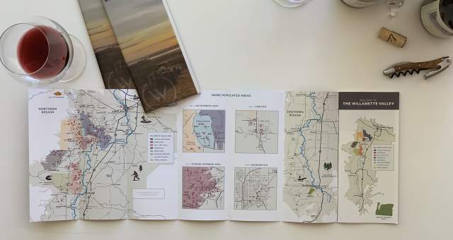
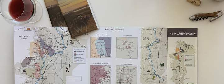
The Willamette Valley AVA in 3D
For anyone who has driven through the Willamette Valley, the connection between wine and landscape is immediately apparent. Vineyards rise along hillsides, tucked between forested ridgelines, open farmland, and winding country roads. But the full geography of the valley can be hard to grasp from the ground alone.
The new 3D Explorer Tool offers a broader view, helping users understand how the valley’s natural features shape its winegrowing conditions. From the Coast Range to the west and the Cascade Mountains to the east, to the lower hill chains at the northern edge of the valley, the tool highlights the protective geography that makes the Willamette Valley so well suited to cool-climate grape growing.
It also helps illustrate one of the defining truths of the region: small differences in site, elevation, aspect, and climate can yield wines of remarkably distinct character.
LAUNCH THE EXPLORER TOOL